

Vilcanota mountain range
Cusco, Peru
Local Pick
At a glance
Ideal for
For HerFor HimBackpackersStudents
Features
A View To Die ForAdventureNatureOutdoor Area
Local tip
Located between the Vilcanota, Paucartambo and Madre de Dios Rivers
Vilcanota mountain range
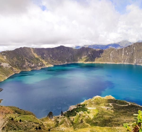
Located between the Vilcanota, Paucartambo and Madre de Dios Rivers, the range includes mountains like Ausangate (6,384 meters - 20,945 feet), Mariposa, Cayangate, Wakay Willca (or Verónica) Chicón and Pitusiray, which is over 5,500 m.a.s.l. (18,044 f.a.s.l.).
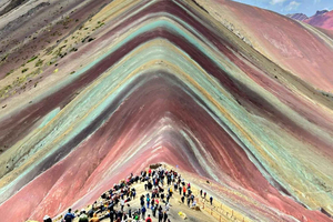
 This mountains are also known as the 'Rainbow Mountains'
General Information
Located between the Vilcanota, Paucartambo and Madre de Dios Rivers, the range includes mountains like Ausangate (6,384 meters - 20,945 feet), Mariposa, Cayangate, Wakay Willca (or Verónica) Chicón and Pitusiray, which is over 5,500 m.a.s.l. (18,044 f.a.s.l.).
This mountains are also known as the 'Rainbow Mountains' General Information
- Location: Cuzco Department. Urubamba Province (2,850 m.a.s.l. - 9,350 f.a.s.l.).
- Climate: Semi-dry and cold, rainy from October to March
- Average temperature: 12 ° C. (54 ° F)
- Season: From May to September.
- Access by Air: Lima - Cuzco (1 hour 15 minutes)
- Access by Land: Lima - Arequipa - Cuzco (1,650 km - 1025 miles), in 24 hours. Lima - Nazca - Abancay - Cuzco (1,131 km - 703 miles), in 22 hours.
- Difficulty level: Medium to high
- Time: 6 days