Ucayali
The department is part of the Peruvian Amazon
Ucayali
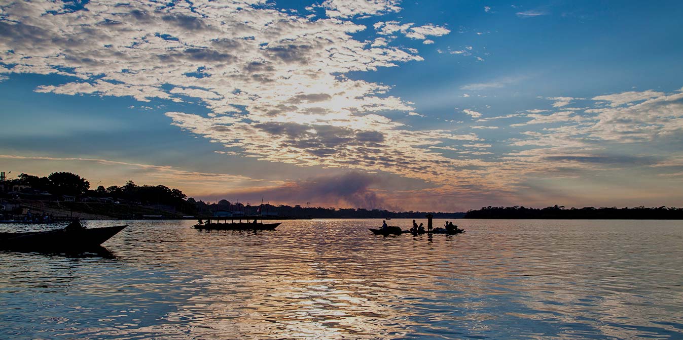
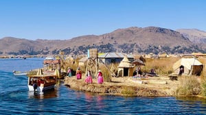
The department is part of the Peruvian Amazon, located in the central and eastern part of the national territory, between 07º 20 '23 "and 11º 27' 35" south latitude; and at 70º 29 '46 "and 75º 58' 08" west longitude.
It borders on the north with the department of Loreto, on the south with the departments of Cuzco, Madre de Dios and Junín, on the east with the Federal Republic of Brazil (State of Acre), on the west with the departments of Pasco and Huánuco . It comprises an area of 102 410.18 km² that represents 7.97% of the national territory and around one seventh of the Peruvian Amazon rainforest, includes highland and Amazonian plain territories, which represent 13.7% and 86, 3% respectively of the surface of the Region.
 Ucayali
 Climate-Ucayali-Peru
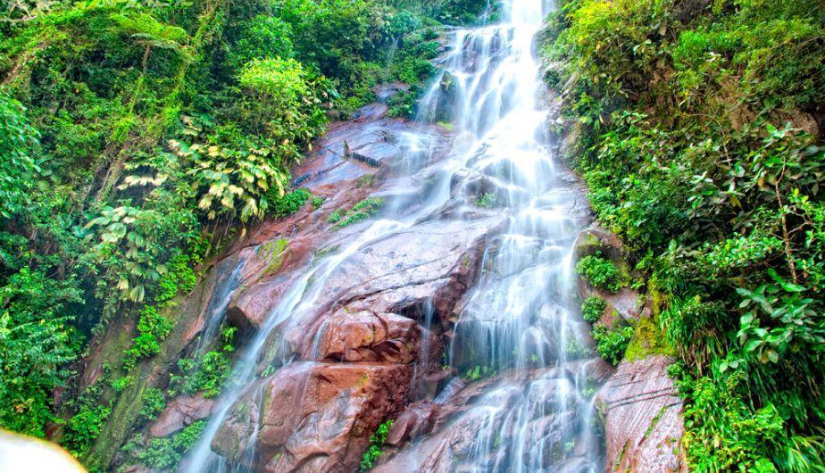
Its geography is mainly defined by the Ucayali river basin, in the area delimited above, which in its northern sector comprises from the Cordillera Azul on the border with Huanuco (up to 2,000 meters above sea level), gently descending to the axis of the Ucayali river (150 meters above sea level) , then go up to the border with Brazil, covering reliefs of the small Contamana mountain range that culminate in the sources of the Utiquinía river, area where the Bandera hills (up to 800 meters above sea level) and the Cone or Cerro Aguja are located.
In the central and southern sector, the western limits begin at the summits of the Cordillera del Sira (up to 3,000 meters above sea level), which divides the waters of the Pachitea and Pichis from those of the Ucayali, going down a short stretch to the axis of the Ucayali and again going up to the watershed with the river basins of the Yuruá and Purús rivers that run towards Brazil.