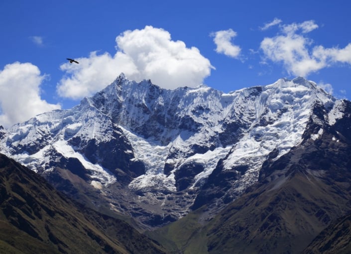
Vicabamba mountain range
Activities & Sports
Local Pick
Vicabamba mountain range
Located between the Urubamba and Apurímac Rivers, the mountain range stretches over 100 km (62 miles). The snow-capped peaks of Salkantay and Huamantay, standing at over 6,000 meters (19,685 feet) tall, are incredible. The abrupt geography of the range is divided by beautiful canyons and covers the Ampay National Sanctuary, a refuge for an extensive variety of flora and fauna.
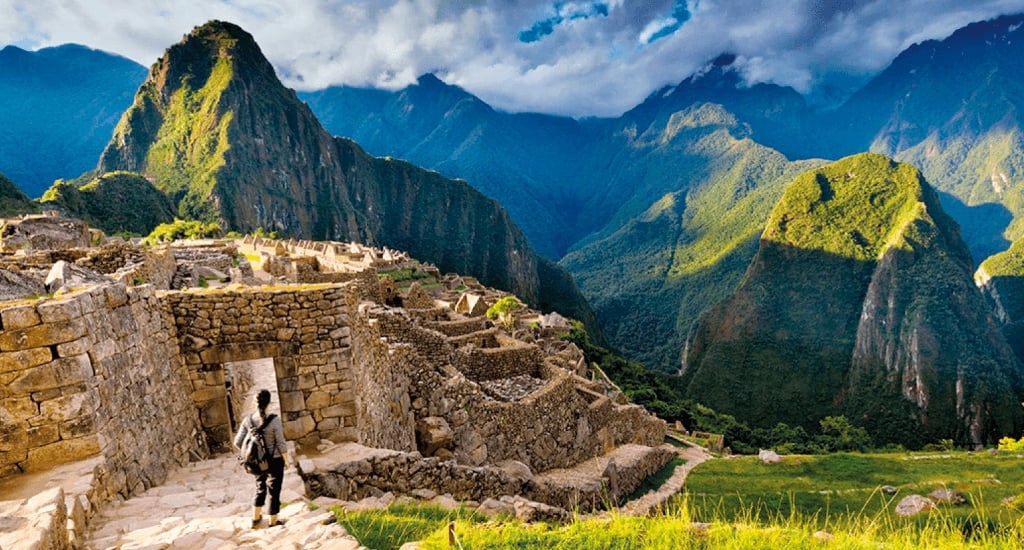 Machu Picchu is one of the attractions of this mountain range
General Information
Located between the Urubamba and Apurímac Rivers, the mountain range stretches over 100 km (62 miles). The snow-capped peaks of Salkantay and Huamantay, standing at over 6,000 meters (19,685 feet) tall, are incredible. The abrupt geography of the range is divided by beautiful canyons and covers the Ampay National Sanctuary, a refuge for an extensive variety of flora and fauna.
Machu Picchu is one of the attractions of this mountain range General Information
- Location: Apurímac and Cuzco departments. Ampay National Sanctuary (2,880 m.a.s.l - 9,449 fasl).
- Climate: Semi-dry and cold, rainy from October to March
- Average temperature: 13 ° C. (55 ° F).
- Season: from May to September.
- Access by Air: Lima - Cuzco (1 hour 15 minutes);
- Access by Land:
- Lima - Arequipa - Cuzco (1,650 km - 1025 miles), in 24 hours.
- Lima - Nazca - Abancay - Cuzco (1,131 km - 703 miles), in 22 hours.
- Lima - Nazca - Abancay (912 km - 567 miles).
- Difficulty level: High
- Time: 7 days