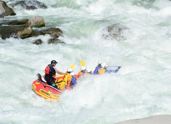
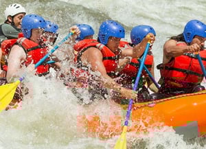
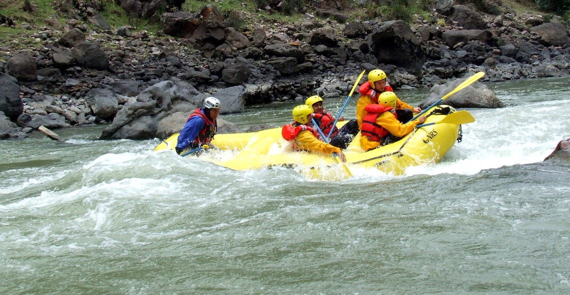
Rafting - Apurimac River
The
river is included in the world rafting list due to its great depth and its rapids. It starts at approximately 2 700 m.a.s.l. (8 858 f.a.s.l.) at
Cúnyac bridge, close to Mollepata (Anta), and descends through incredible landscapes and canyons with depths of over 3,000 meters (9,800 feet), finally concluding in the Cconoc hot springs, in
Curahuasi (Apurimac). The river is located within the Salkatany mountain chain, one of the most beautiful in the world.
 Apurimac River
General Information
- Location: Apurímac and Cusco departments. On the border of Anta (Cusco) and Abancay (Apurímac) provinces.
- Weather: Semi-dry and cold, rainy from December to March.
- Average temperature: 11 ° C (52 ° F).
- Season: From May to September.
- Access by air: Lima - Cusco (1 hour 15 minutes).
- Access by land: 73 km (45 miles) north-east from Abancay City (2 hours 30 minutes) by bus; driving along the Cusco - Abancay (Cúnyac Bridge) road.
- Level: Grade II, III and IV
- Time: 3 days